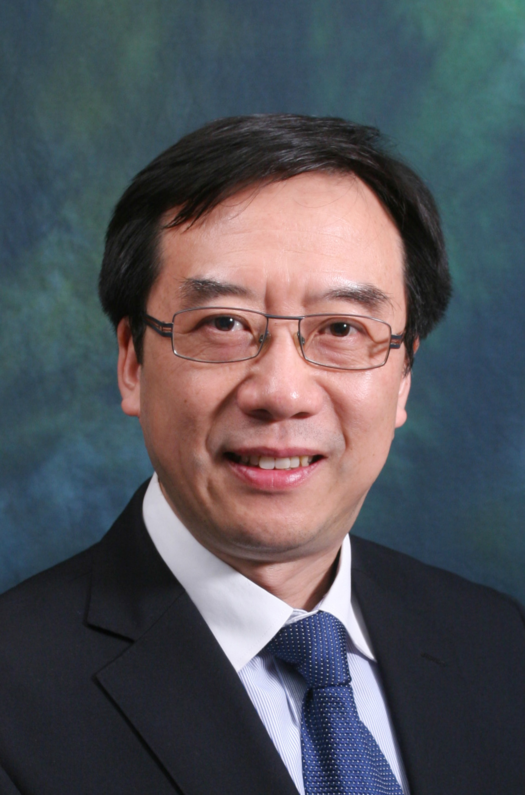
Vice President
The University of Sheffield
Professor Dave Petley is Vice President of the University of Sheffield in England. His expertise is in landslide risk evaluation and management; slope deformation monitoring and forecasting; and engineering geomorphology. He has served as a Technical Advisor for the Public Works Department of the Malaysian Government on the National Slopes Master Plan, a member of the advisory board of a range of major European and international research projects and as an expert reviewer for many landslide programmes. He acts as an adviser on landslide research to a number of national research councils and organisations in Europe and Australasia.
Abstract of Presentation
Rock slope failures are generally controlled by the presence of adverse discontinuities. Assessment of the characteristics of discontinuities, especially joint patterns in the rock mass, is therefore crucial to determine the stability of rock slopes. Traditionally, rock joint surveys are carried out by engineering geologists using a geological compass. Digital technology, comprising the application of remote sensing techniques to measure the slope surface geometry and the subsequent use of software for identification of joint planes, have become increasingly common in recent years.
As the subject is continuing to evolve, with a range of advanced techniques available and in development, it is considered timely to organise a benchmarking exercise on the use of digital techniques for rock joint survey on slopes. Participants of this benchmarking exercise have been invited to identify rock joints on two selected rock slopes in Hong Kong using digital technology based on data capture through remote sensing methods. This exercise aims to provide a platform for participants to share their experience/insights of this subject, assess commonality between different techniques, examine the technological readiness, and identify directions of further technical development.
The benchmarking exercise received a high level of interest. Quality submissions were received from 14 organisations located around the world including Hong Kong, the United States, Spain and New Zealand. Insightful observations have been made pertinent to the merits and constraints of the remote sensing techniques, the approach of different program algorithms and practical considerations of digital rock joint mapping. Professor Dave Petley, the Chairman of the Review Committee of this benchmarking exercise, will present the background and key findings of this benchmarking exercise.
List of Participants
- AECOM Asia Company Limited
- Ambit Geospatial Solution Limited
- Arcadis Design and Engineering Limited
- Ove Arup and Partners Hong Kong Limited
- Aurecon Hong Kong Limited
- C M Wong & Associates Limited
- Fugro (Hong Kong) Limited
- Gammon Construction Limited & ADAM Technology
- Geotechnical Engineering Office
- GeoRisk Solutions Limited
- The Department of Civil Engineering of the University of Hong Kong
- Hexagon Mining
- Star Vision Limited
- Universidad de Alicante
Review Committee
Chairman:
Professor Dave Petley, Vice-President for Research and Innovation, The University of Sheffield, UK
Members:
- Ir Dr Raymond WM CHEUNG, Head of GEO, CEDD
- Professor John SHI, Department of Land Surveying and Geo-Informatics, The Hong Kong Polytechnic University
- Mr Victor NG, Chief Land Surveyor, CEDD
- Dr Louis WONG, Department of Earth Sciences, The University of Hong Kong
Session Chairmen

Head of Department of Land Surveying and Geo-Informatics
Hong Kong Polytechnic University
Prof Shi obtained his doctoral degree from University of Osnabrück in Vechta, Germany in 1994. He is Academician of International Eurasian Academy of Sciences, Fellow of Royal Institution of Chartered Surveyors and Hong Kong Institute of Surveyors, Otto Poon Charitable Foundation Professor in Urban Informatics, Chair Professor in GISci and remote sensing, The Hong Kong Polytechnic University (PolyU). He serves as Director of PolyU-Shenzhen Technology and Innovation Research Institute (Futian), Smart Cities Research Institute, PolyU, and Joint Research Laboratory on Spatial Information, PolyU and Wuhan University. He also serves as Editor-in-Chief, International Journal of Urban Informatics, and President, International Society for Urban Informatics. He served as Head of Department of Land Surveying and Geo-Informatics, PolyU (2014-2021), President of Commission II for International Society for Photogrammetry and Remote Sensing (2008-2012) and President for Hong Kong Geographic Information System Association (2001-2003).
He received State Natural Science Award (China’s highest award for fundamental research) in 2007, Science and Technology Progress Award in Surveying and Mapping (Grand Award) in 2017, Wang Zhizhuo Award from International Society of Photogrammetry and Remote Sensing in 2012, and ESRI Award for Best Scientific Paper in GIS by American Society of Photogrammetry and Remote Sensing in 2006. He has been the Principle Investigator of the research project under National Key R&D Program, funded by Ministry of Science and Technology; the project supported by the Key Program of National Natural Science Foundation of China; and projects supported by Innovation and Technology Fund, Hong Kong.
Prof Shi’s current research interests include urban informatics for Smart Cities, GISci and remote sensing, intelligent analytics and quality control for spatial big data, artificial-intelligence-based object extraction and change detection from satellite imagery, and mobile mapping and 3-D modelling based on LiDAR and remote sensing imagery. He has co-authored more than 250 research articles that are indexed by Science Citation Index (SCI) and 15 books.

Associate Professor and Director of MSc in Applied Geosciences in the Department of Earth Sciences
Hong Kong University
Dr Louis Wong (PhD MIT, BSc HKU) is Associate Professor and Director of MSc in Applied Geosciences in the Department of Earth Sciences at HKU. He has worked in Hong Kong, Singapore and the U.S.A. on a variety of slope engineering and underground construction projects. Dr. Wong has authored and co-authored more than 160 journal and conference publications in engineering geology, rock mechanics and underground engineering. He is one of the 127 HKU scholars ranked in the top 1% worldwide by citations in a research field. Additional to a number of journal and conference paper awards and keynote lectures delivered in international conferences, he was awarded the Richard Wolters’ Prize (2014) by the International Association of Engineering Geology and Environment. He has been the Editor-in-Chief of Bulletin of Engineering Geology and the Environment (BOEG) since 2018. He is a Technical Assessor on geotechnical testing appointed by the Hong Kong Laboratory Accreditation Scheme (HOKLAS). His recent research interest is to apply AI technologies to geological and geotechnical industry practices.